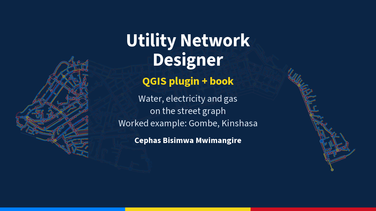
Utility Network Designer: QGIS plugin and book
Design water, electricity and gas networks in QGIS, with the 129-page book on the method.
Design the water, electricity and gas networks of a district from three layers: its streets, its buildings and its boundary.
WHAT YOU GET, IN ONE ZIP FILE
• The Utility Network Designer plugin for QGIS, installed from a ZIP.
• The book Designing Utility Networks with Graph Theory as a PDF (129 pages).
• An installation guide in English and French.
WHAT THE PLUGIN DOES
• Designs and sizes the three networks along the streets: pipes, cables, transformers, gas regulators and the service connection of every building.
• Checks the design rules one by one and reports, with a number, any rule that is not met.
• Analyses reliability: valve closures, fire flow, transformer outages, medium-voltage rings and street cuts.
• Draws engineering drawings: longitudinal profile, cross-section, junction plan and single-line diagram.
• Writes its results as QGIS layers, CSV, JSON, PDF and PNG, with a customer register.
WHAT THE BOOK COVERS
The method, the proofs and the full application to the commune of Gombe in Kinshasa, Democratic Republic of the Congo.
BEFORE YOU BUY
• The plugin produces planning studies, not construction drawings. Building anything still requires field surveys, the existing networks and the advice of the operators.
• It needs QGIS 3.28 or later and was tested on QGIS 3.44 for Windows. Other installations may need additional Python libraries.
• Your data must be in a projected coordinate system in metres.
• Large districts take time: on Gombe (13,006 buildings), about 9 minutes for the design and 23 minutes for the analyses.
• On Gombe, the plugin passes 77 of 78 rule checks. The failing check is the residual pressure under fire flow.
• The gas network of the example is a hypothetical scenario: Kinshasa has no piped gas network.
Contact: bisimwamwim@gmail.com
What you get
- book.zip (13.8 MB)
Reviews
No reviews yet. Only buyers can leave one.